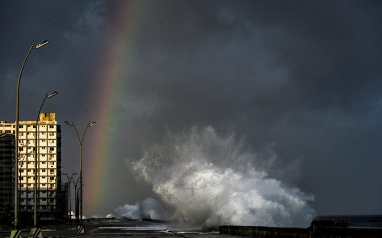
Hurricane Milton has made landfall in the US ripping through the state of Florida and leaving devastation in its wake.
The reduced intensity of the storm led to it being downgraded from category five to category three by the time it hit the west coast of Florida at around 1.30am in Siesta Key but it still brought winds of 120mph, heavy rain and the potential for damaging storm surges.
Deaths have been confirmed on the south-east coast of Florida at St Lucie County, more than three million people are estimated to have been left without power and some areas are without water after Milton tore through buildings and infrastructure in is path across the state.
Now downgraded to a category one storm, it is moving away from the east coast of the state and out into the Atlantic Ocean.
We take a look at whether this means it will heading across the Atlantic to the UK and what that means in terms of our weather conditions.
Will Hurricane Milton affect weather in the UK?
Hurricane Milton is now heading out into the Atlantic Ocean but is expected to lose its power before reaching the UK.
Met Office spokesman Stephen Dixon told i it will have “no direct impact”, as it would be “breaking down in the Atlantic”.
He said: “Milton is expected to weaken to a tropical storm and transition into an extratropical storm as it moves to the south of Bermuda.
“Beyond this, the remnant is likely to be absorbed into a frontal zone or dissipate in the subtropical Atlantic.”

Why can US hurricanes sometimes affect UK weather?
At worst, Hurricane Milton is expected to cause a degree of “forecast uncertainty next week” in the UK.
Mr Dixon said: “Systems in the Atlantic like this can add some uncertainty to long-range weather outlooks, but Milton itself will likely lose its identity as a defined feature in the coming days.”
Hurricanes are powered by warm ocean waters and thunderstorms, crossing the cooler waters of the mid-Atlantic means that these storms usually lose their power.
And so US Hurricanes tend to dissipate as they head towards the UK.
Hurricane Kirk in the mid-Atlantic last weekend became an ex-hurricane by the time it neared Western Europe.
Forecasters say some of the extra moisture and energy from these storm “may get wrapped up into our jet stream, potentially adding to developing low pressures moving towards our shores later next week.”
But the presence of hurricanes in the Atlantic tends to affects computer-generated weather forecast data, said the Met Office, which in turn can lead to “higher than normal levels of uncertainty in the mid-range forecast”.
What is the latest UK forecast?
The UK forecast for the next few days promises to be relatively dry, although much cooler in temperature as Arctic air sweeps in from the North.
Met Office spokesman Stephen Dixon said: “Drier weather will develop for much of the UK over the next few days, though those in the North and West will see more frequent, and at times persistent, showers.
“It’ll continue to feel relatively cool for the time of year for many, with daytime highs likely only into the low double figures.”
Temperatures are expected to peak at 13°C on Thursday before dropping to just above freezing for much of the UK overnight to Friday and then around 13°C/14°C on Friday during the day.
“Those temperatures are expected to shift early next week, as a southerly airflow develops and draws in warmer air from the South.
“This has the potential to bring with it some rain on Tuesday, in what will be a week of changeable weather, with periods of rain interspersed with more settled interludes.”

