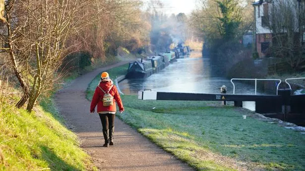
Some parts of the UK could see temperatures soar to 12C this week after the country was hit by an Arctic blast that caused freezing conditions, weather maps show.
The cold spell is coming to an end after temperatures dropped to -18.9 in Altnaharra, Scotland, on Saturday morning, which was the UK's coldest January night in 15 years. But milder weather arrived on Sunday, which is set to last for the next few days.
The Met Office is forecasting temperatures of 11C and 12C in Northern Ireland and Scotland on Monday and Tuesday, while northern England will see the mercury go up to 9C. Southern parts of the country are expected to remain cooler, with temperatures lingering between 5C and 8C.
Monday is set to be "windy in the north, with spells of rain spreading southwards across Scotland into northern England" and then "drier in the south but cloudy", according to the Met Office. Forecasters said milder air will also lead to "continued rapid melting of lying snow" which could make river levels rise.
Tuesday will be similar, but potentially drier with temperatures between 11C and 12C in the north and 8C and 9C in the south. Met Office meteorologist Greg Dewhurst said: "(It will be) back to average temperatures generally for the time of year."
The average low in northern Scotland for this time of year is about 0.3C, while for England, overnight lows are about 1.5C to 1.6C. Meanwhile, the UK Health Security Agency (UKHSA) has extended its cold weather health alert for all of England until Tuesday. Amber alerts have been extended and will now run until January 14, meaning a rise in deaths, particularly among those aged 65 and over or with health conditions, is likely, the agency said.
Later this week, high pressure will lie close to the southeast of the UK, with generally settled conditions across many parts. According to the Met Office's long-range forecast from January 17 to January 26, there will be variable amounts of cloud, with some frost and fog in the south and east and rain in the far northwest.
The forecast reads: "A weakening frontal system looks like it will edge east across the UK over the weekend, before high pressure briefly builds back in from the west in its wake. Low pressure then seems likely to increasingly influence the UK weather later in the period, with some rain and windier conditions affecting most if not all parts.
"Temperatures are likely to be generally a little above average, especially in the north, though more frost and fog patches are likely under clearer skies and lighter winds." The end of January and beginning of February could bring in unsettled and windier conditions, according to the national weather service.
This is "likely to result in areas of rain and periods of stronger winds affecting most if not all parts of the UK at times, though with the wettest and windiest weather probably occurring towards the north and west." But the Met Office said there is still a risk of colder spells with frost, ice and snow.
UK 5 day weather forecast
Today:
Dry and cold in the south today with some sunny spells. Cloudier in the north with outbreaks of rain and drizzle. Windy in northern areas with gales in northern Scotland. Mild in the north.
Tonight:
Staying largely cloudy across with north with light outbreaks of rain and drizzle. Dry and cold in the south with some clear spells, allowing for patchy fog and frost.
Tuesday:
Largely cloudy and dry for most, although outbreaks of drizzle will continue across western hills. Some brighter spells are possible in southern England and eastern Scotland. Mild for many.
Outlook for Wednesday to Friday:
Largely dry, although outbreaks of rain and strong winds will push across western Scotland at times. Largely cloudy and mild with fog occasionally forming in the south.
