A flurry of reports of unidentified drones buzzing above US cities has sparked a mix of intrigue and concern. In states like New Jersey, where mysterious lights in the sky have been described as drones, some sightings have turned out to be ordinary aircraft. Despite these reassurances, the rise of drone technology has left many residents wondering how to monitor the airspace around their homes and businesses.
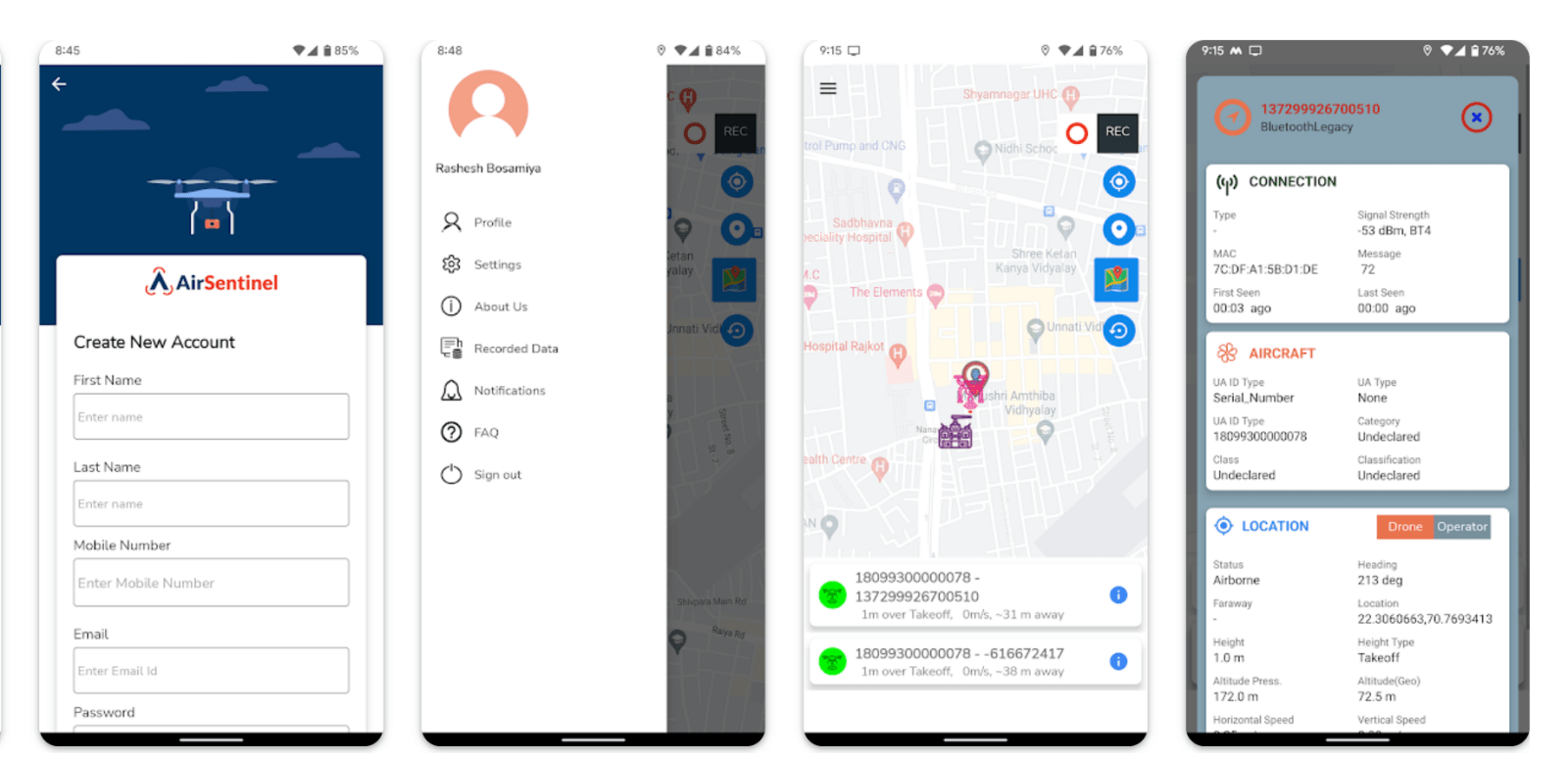
For those looking to understand what’s flying nearby, Air Sentinel, a free app now available on the Google Play Store, offers a straightforward solution. The app leverages Remote ID signals — required for most drones in US airspace — to provide key insights about nearby aerial devices.
How does Air Sentinel track nearby drones?
Air Sentinel transforms complex drone data into clear, actionable information for everyday users. Developed by airspace intelligence firm Airsentinel.ai, the app detects drones broadcasting Remote ID signals and displays their digital “license plates,” current locations, and flight paths.
Remote ID is a system mandated by the Federal Aviation Administration (FAA) that enables drones to transmit their identity, altitude, and takeoff points. Most drones on the market today either come equipped with Remote ID capabilities or are retrofitted with external devices to meet compliance standards.
Alan Erickson, co-CEO of Airsentinel.ai, highlights the drone tracking app’s user-friendly approach to airspace security: “With the launch of the Airsentinel.ai app on Google Play, we are taking a giant leap in that direction. It just works.”
The app caters to a wide audience:
- Homeowners: Track drones flying over your property to ensure privacy.
- Businesses: Monitor for unauthorized drone intrusions to protect sensitive assets.
- Public safety teams: Gain insights into drone activities in high-traffic or restricted areas.
However, the app maintains strict privacy protections. Advanced features, like access to a drone operator’s location, are reserved for verified government entities under “Authorized User” accounts.
Basically, even if reports of unidentified drones often turn out to be ordinary aircraft, Air Sentinel offers peace of mind to users curious about their surroundings. The tool also bridges a crucial gap in public awareness about how drones operate.
Read more: New DJI Flip leak reveals pricing: A budget drone contender
FTC: We use income earning auto affiliate links. More.


Comments