arrow_upward

IMPARTIAL NEWS + INTELLIGENT DEBATE

search

SECTIONS

MY ACCOUNT

radio_button_checked

Snow closes Manchester Airport runways as flooding sparks rail chaos

Article thumbnail image
Cars drive through snow in Scotton, Harrogate, North Yorkshire (Photo: Danny Lawson/PA)
cancel WhatsApp link bookmark Save

Millions of commuters will face travel chaos on their first day back to work as snow, ice and rain warnings have been issued across the UK.

Manchester Airport has temporarily closed its runways due to heavy snow, while Leeds Bradford Airport also warned that disruption to flights is expected today.

The Environment Agency has issued 283 flood alerts and 146 flood warnings, with National Rail announcing that all lines between Derby and Long Eaton near Nottingham have been blocked due to heavy rain.

Follow The i Paper’s live blog for updates.

Snow closes Manchester Airport runways as flooding sparks rail chaos

Good morning and welcome back to The i Paper‘s live blog.

Millions of commuters are expected to face travel disruption on their first day back to work as snow, ice and rain warnings have been issued across the UK.

Manchester Airport has temporarily closed its runways due to heavy snow, while Leeds Bradford Airport also warned that disruption to flights “is expected” today.

The Met Office has issued three yellow weather warnings for snow and ice, covering large parts of Scotland and northern England.

A further yellow weather warning for snow has been issued in southern Scotland, while an ice warning is in place in Northern Ireland.

A yellow weather warning for rain is also in place across southern England.

The Environment Agency has issued 283 flood alerts and 146 flood warnings, with National Rail warning that all lines between Derby and Long Eaton near Nottingham have been blocked due to heavy rain.

Coverage ends

Thanks for following The i Paper’s live blog today. We’ll be closing this page shortly. Before we go, here’s a recap of today’s events.

  • Heavy overnight snow created significant travel disruption across the UK as the cold start to the new year continued.
  • Stranded vehicles and collisions left key roads in northern England closed while rail services were also cancelled with two amber weather warnings still in place.
  • Wes Streeting acknowledged withdrawing winter fuel payments from pensioners “might be unpopular” following health service advice to keep home heated during this weekend’s cold snap.
  • Leeds Bradford Airport said it had closed its runway on Sunday morning after disruption caused by heavy snowfall. It reopened at around 2pm today.
  • A new yellow weather warning for rain was issued for southern England on Sunday.
  • Manchester Airport said it had re-opened its runways after previously being hampered by heavy snow at around 7am.
  • Liverpool John Lennon Airport said its runway would reopen at 10.15am.

Four things you should never do on icy roads and three you should

Much of the country is bracing for heavy snowfall and icy conditions this weekend after the Met Office issued a swathe of yellow and amber alerts.

Closed roads, cancelled or disrupted journeys and power cuts are all likely as the UK grapples with a week-long spell of wintry conditions, the forecaster warns.
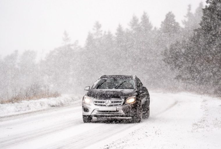
A car navigates snowy conditions on the A169 near Saltergate in the North York Moors National Park. There is widespread travel disruption after heavy snowfall and ice affected parts of the UK, with the Met Office advising vehicles could be stranded, power cuts may occur and rural areas could be cut off. Picture date: Wednesday November 20, 2024. PA Photo. Photo credit should read: Danny Lawson/PA Wire
A car navigates snowy conditions on the A169 near Saltergate in the North York Moors National Park on Wednesday (Photo: Danny Lawson/PA)

The potential ice and snow will also create difficult conditions for drivers, and there are many things you should avoid if you’re planning on getting behind the wheel on snowy, wintery roads.

If you must make an essential journey on the roads, here are some of the main hazards to be mindful of when driving this winter.

Read the advice here.

In pictures: Lakes freeze over as snowfall causes travel chaos

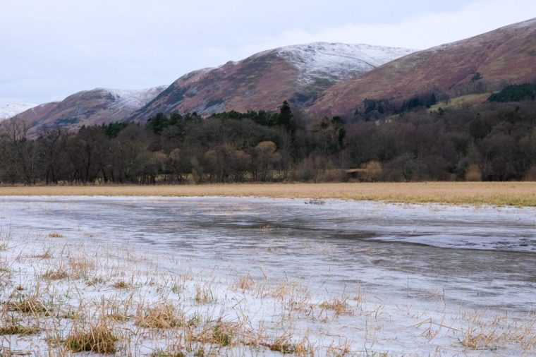
DOLLAR, SCOTLAND - JANUARY 05: A fallen tree and plates of ice on agricultural farmland on January 05, 2025 in Dollar, Scotland. Temperatures reach -10 C this weekend in some parts of the UK with Amber weather warnings issued by the Met office in place for ice and snow. (Photo by Ben Montgomery/Getty Images)
A fallen tree and plates of ice on agricultural farmland in Dollar, Scotland (Photo: Ben Montgomery/Getty)
DOLLAR, SCOTLAND - JANUARY 05: Frozen water on agricultural farmland on January 05, 2025 in Dollar, Scotland. Temperatures reach -10 C this weekend in some parts of the UK with Amber weather warnings issued by the Met office in place for ice and snow. (Photo by Ben Montgomery/Getty Images)
Frozen water at a lake in Dollar, Scotland (Photo: Ben Montgomery/Getty)
EDINBURGH, SCOTLAND - JANUARY 5: Traffic drives through falling snow on Lanark Road, as wintry conditions close in on the city, on January 5, 2025, in Edinburgh, Scotland. (Photo by Ken Jack/Getty Images)
Traffic drives through falling snow in Edinburgh, Scotland (Photo: Ken Jack/Getty)

Weather warnings in place for Scotland

Forecasters are warning of potential travel disruption with snow and ice alerts in force across much of Scotland.

The Met Office has issued a yellow warning for such conditions across the north east and east of the country as far south as Edinburgh, which is in place until midday on Monday.

It warns that more than 10cm could fall on ground above 200 metres in northern areas, while further south snowfall accumulation is likely to be “patchier” and generally between 1cm to 2cm.

A warning of snow across northern, western and south-west Scotland is in force until 11am on Monday.

Areas in the south west could see 2-5 cm of snow in some places, mainly above 200 metres, while areas further north could see 1-4cm accumulate.

A warning of snow in south-eastern Scotland, extending from Edinburgh to Lanark and Lockerbie and down to the border, will be in force from midnight on Sunday until midday on Monday.

The Met Office said that 2-5 cm of snow could accumulate widely, with as much as 10-20 cm over the higher ground of the Borders and the southern edge of the Lothians.

20°C difference in minimum and maximum temperatures today

“There’s been a whopping 20.8°C difference in maximum temperature across the UK so far today,” the Met Office has said in an update on X.

Merryfield on the southcoast enjoyed a relatively warm temperatures for winter at 14.2°C.

Fyvie Castle, meanwhile, faced temperatures as low as -6.6°C.

Today saw a 20.8°C difference in maximum temperature across the UK (Met Office)

Rural communities ‘completely cut off’ amid heavy snowfall

Those living in rural communities said they have been “completely cut off” after heavy snow descended on the north of England today.

Nia Deo, 28, who is struggling to get back to London from Yorkshire, told The i Paper: “The snow in my Yorkshire village is so severe that all trains have been cancelled, leaving me completely cut off.

“I’ve had to trek through deep snow to a main road, where my grandad picked me up to get me to Leeds.”

Ahead of today’s snowfall, Met Office said some rural communities could be cut off, with up to 40cm of snow on ground above 300m before conditions ease later on Sunday.

National Highways warned that up to 25cm of snow could affect roads in northern England.

In pictures: Wintery scenes around the country
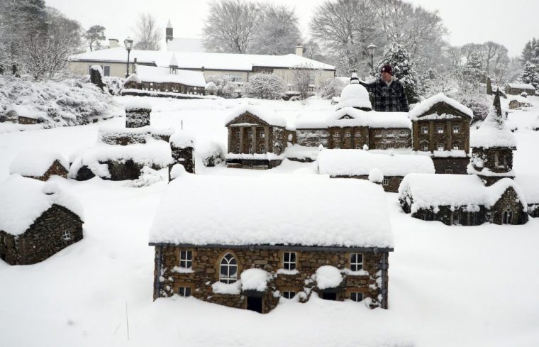
Lowson Robinson is pictured in the heavy snow with his scaled miniature famous landmarks which are located in his garden in Nenthead, England, as the severe weather continues across England, Sunday, Jan. 5, 2025. (AP Photo/Scott Heppell)
Scaled miniature famous landmarks in Nenthead, England, covered in snow (Photo: Scott Heppell/AP)
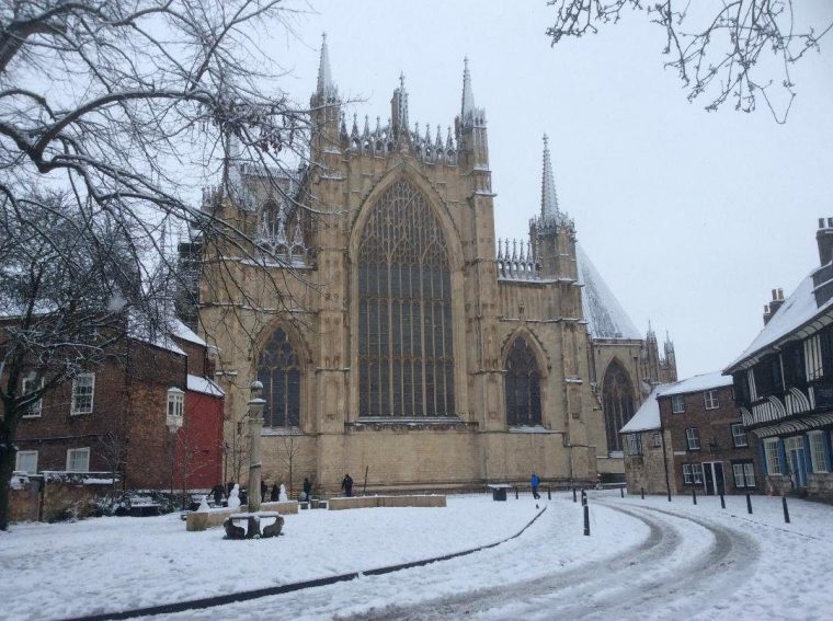
York Minster after overnight snowfall. Heavy overnight snow is causing disruption across parts of the UK as the cold start to the new year continues. Picture date: Sunday January 5, 2025. PA Photo. Two amber weather warnings from the Met Office have been put in place in England and Wales, with 3cm to 7cm of snowfall predicted for much of the affected area, mixing with rain at times in lower-lying areas. The Met Office said Bingley, West Yorkshire, had seen 12cm of snow up to 7am on Sunday, with Shap in Cumbria and Capel Curig, Gwynedd, both seeing 10cm. One amber warning for snow and freezing rain, which covers much of Wales and the Midlands as far north as Manchester, is in place until midday on Sunday. See PA story WEATHER Winter. Photo credit should read: Tom Ross/PA Wire
York Minster after overnight snowfall (Photo: Tom Ross/PA)
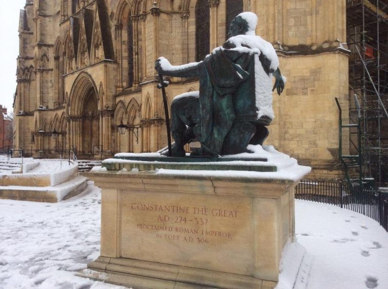
A dusting of snow on the statue of Roman Emperor Constantine outside York Minster. Heavy overnight snow is causing disruption across parts of the UK as the cold start to the new year continues. Picture date: Sunday January 5, 2025. PA Photo. Two amber weather warnings from the Met Office have been put in place in England and Wales, with 3cm to 7cm of snowfall predicted for much of the affected area, mixing with rain at times in lower-lying areas. The Met Office said Bingley, West Yorkshire, had seen 12cm of snow up to 7am on Sunday, with Shap in Cumbria and Capel Curig, Gwynedd, both seeing 10cm. One amber warning for snow and freezing rain, which covers much of Wales and the Midlands as far north as Manchester, is in place until midday on Sunday. See PA story WEATHER Winter. Photo credit should read: Tom Ross/PA Wire
A dusting of snow on the statue of Roman Emperor Constantine outside York Minster (Photo: Tom Ross/PA)
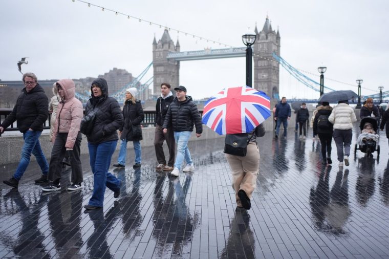
People during a rain shower at More London on the south bank of the River Thames near Tower Bridge, London, as a new yellow weather warning for rain has been issued for southern England on Sunday. Elsewhere, heavy overnight snow is causing disruption across parts of the UK as the cold start to the new year continues. Picture date: Sunday January 5, 2025. PA Photo. Two amber weather warnings from the Met Office have been put in place in England and Wales, with 3cm to 7cm of snowfall predicted for much of the affected area, mixing with rain at times in lower-lying areas. The Met Office said Bingley, West Yorkshire, had seen 12cm of snow up to 7am on Sunday, with Shap in Cumbria and Capel Curig, Gwynedd, both seeing 10cm. One amber warning for snow and freezing rain, which covers much of Wales and the Midlands as far north as Manchester, is in place until midday on Sunday. See PA story WEATHER Winter. Photo credit should read: Yui Mok/PA Wire
Rain descends on the Southbank in London (Photo: Yui Mok/PA)

Melting snow adds to flooding risks

Melting ice may expeediate flooding risks, the Met Office has warned, as heavy rainfalls is expected in southern England this evening.

Sarah Cook, flood duty manager at the Environment Agency, said: “A combination of melting snow and rain may lead to the possibility of some significant river flooding in localised areas of Lancashire and Warwickshire on Sunday and Monday, and minor flooding from rivers and surface water may also be seen more widely across other parts of England.”

The Environment Agency had issued 14 flood warnings, meaning flooding is expected, and more than 140 flood alerts across the country on Sunday afternoon.

Government to ditch 2035 gas boiler ban despite heat pump drive

The Government is set to ditch plans to ban new gas boilers from 2035 despite pushing for the vast majority of homes to get heat pumps in future.

de facto ban on gas boilers being installed in new homes will be confirmed later this year, taking effect before the end of the decade.

But the previously planned rule that would stop people replacing their existing boilers with new ones from 2035 will be scrapped, The i Paper understands.

The Government is set to ditch the 2035 ban on new gas boilers (Photo: Getty)

Ministers have confirmed that they expect most homes in the UK to adopt heat pumps at some point as part of plans to remove fossil fuels from the country’s heating systems.

Heat pumps, which are powered by electricity, are currently used by only 1 per cent of households and cost thousands of pounds more than gas boilers.

But the Government has promised to ramp up efforts to get homeowners to switch when their existing boilers need replacing, including by extending a £7,500 subsidy available to homeowners to buy a heat pump.

Read the full story here.

Leeds Bradford Airport runway reopens

Leeds Bradford Airport confirmed shortly after 2.15pm that its runway had reopened and operations were resuming.

It said some disruption was expected to continue throughout the day due to a backlog of departing flights, but the airport expected the situation to “improve”.

King and Queen brave wintry weather at Sandringham

The King and Queen braved wintry weather to head to church in Sandringham amid heavy downpours.

The royal couple held umbrellas as they arrived at the Sunday church service at St Mary Magdalene Church in Norfolk, with weather warnings in place for much of the UK.

Wearing a beige wool overcoat, the King was greeted by Revd Canon Dr Paul Williams, rector for the Sandringham group of parishes, as he arrived for the service.
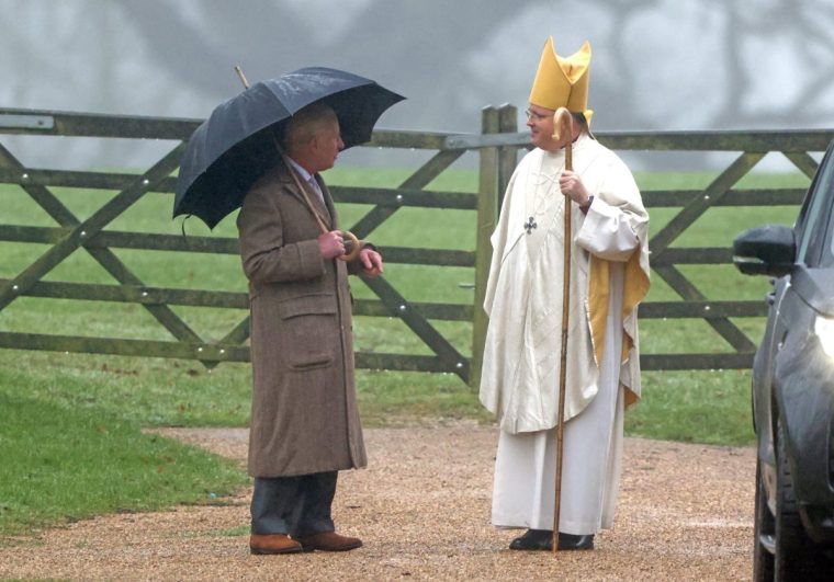
King Charles III leaves following a Sunday church service at St Mary Magdalene Church in Sandringham, Norfolk. Picture date: Sunday January 5, 2025. PA Photo. See PA story ROYAL King. Photo credit should read: Paul Marriott/PA Wire
King Charles leaves a church service at St Mary Magdalene Church in Sandringham (Photo: Paul Marriott/PA)

Camilla, wearing a brown dress coat with brown boots, held a transparent umbrella.

The church visit followed the news of the death of Prince William and Prince Harry’s former nanny’s stepson Edward Pettifer in a vehicle attack in New Orleans.

Monday’s forecast

Seven yellow Met Office warnings are in place on Monday, after several of today’s alerts were extended into tomorrow.

Fresh warnings for snow, ice and rain come into force from midnight across much of the country – while the current amber warnings will expire.

Monday’s Met Office yellow weather warnings

Warnings for rain in Wales and central England are in place until 6am. The alerts are in place across southern England until 9am.

An ice warning covers Northern Irealand until 11am tomorrow.

Southeastern Scotland has a yellow warning in place until 12pm tomorrow, while north and eastern Scotland are told to expect snow and ice until 11am and England and north Wales until 12pm.

In pictures: Snowy scenes in North Yorkshire
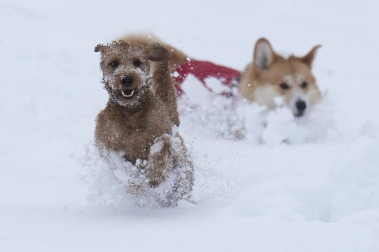
Dogs, Ziggy (left) and Digby play in the snow in Studley Royal park in North Yorkshire. Heavy overnight snow is causing disruption across the UK as the cold start to the new year continues. Picture date: Sunday January 5, 2025. PA Photo. Two amber weather warnings from the Met Office have been put in place in England and Wales, with 3cm to 7cm of snowfall predicted for much of the affected area, mixing with rain at times in lower-lying areas. The Met Office said Bingley, West Yorkshire, had seen 12cm of snow up to 7am on Sunday, with Shap in Cumbria and Capel Curig, Gwynedd, both seeing 10cm. One amber warning for snow and freezing rain, which covers much of Wales and the Midlands as far north as Manchester, is in place until midday on Sunday. See PA story WEATHER Winter. Photo credit should read: Danny Lawson/PA Wire
Dogs play in the snow in Studley Royal park in North Yorkshire (Photo: Danny Lawson/PA)
PARENTAL PERMISSION GIVEN Oscar Meadley, sledges in Studley Royal park in North Yorkshire. Heavy overnight snow is causing disruption across the UK as the cold start to the new year continues. Picture date: Sunday January 5, 2025. PA Photo. Two amber weather warnings from the Met Office have been put in place in England and Wales, with 3cm to 7cm of snowfall predicted for much of the affected area, mixing with rain at times in lower-lying areas. The Met Office said Bingley, West Yorkshire, had seen 12cm of snow up to 7am on Sunday, with Shap in Cumbria and Capel Curig, Gwynedd, both seeing 10cm. One amber warning for snow and freezing rain, which covers much of Wales and the Midlands as far north as Manchester, is in place until midday on Sunday. See PA story WEATHER Winter. Photo credit should read: Danny Lawson/PA Wire
Children sledge in Studley Royal park in North Yorkshire (Photo: Danny Lawson/PA)
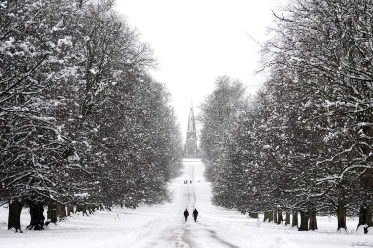
People walking in the snow in Studley Royal park in North Yorkshire. Heavy overnight snow is causing disruption across the UK as the cold start to the new year continues. Picture date: Sunday January 5, 2025. PA Photo. Two amber weather warnings from the Met Office have been put in place in England and Wales, with 3cm to 7cm of snowfall predicted for much of the affected area, mixing with rain at times in lower-lying areas. The Met Office said Bingley, West Yorkshire, had seen 12cm of snow up to 7am on Sunday, with Shap in Cumbria and Capel Curig, Gwynedd, both seeing 10cm. One amber warning for snow and freezing rain, which covers much of Wales and the Midlands as far north as Manchester, is in place until midday on Sunday. See PA story WEATHER Winter. Photo credit should read: Danny Lawson/PA Wire
People walking in the snow in Studley Royal park in North Yorkshire (Photo: Danny Lawson/PA)
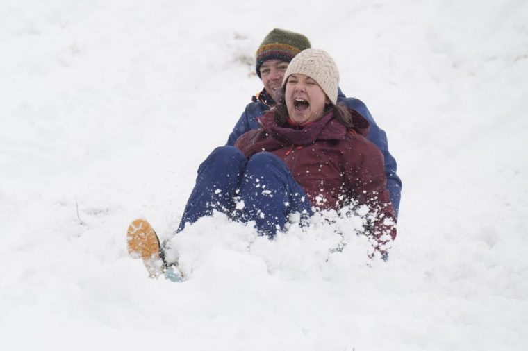
Husband and wife, Bronya and Stefan Meadley, sledge in Studley Royal park in North Yorkshire. Heavy overnight snow is causing disruption across the UK as the cold start to the new year continues. Picture date: Sunday January 5, 2025. PA Photo. Two amber weather warnings from the Met Office have been put in place in England and Wales, with 3cm to 7cm of snowfall predicted for much of the affected area, mixing with rain at times in lower-lying areas. The Met Office said Bingley, West Yorkshire, had seen 12cm of snow up to 7am on Sunday, with Shap in Cumbria and Capel Curig, Gwynedd, both seeing 10cm. One amber warning for snow and freezing rain, which covers much of Wales and the Midlands as far north as Manchester, is in place until midday on Sunday. See PA story WEATHER Winter. Photo credit should read: Danny Lawson/PA Wire
Sledging in Studley Royal park in North Yorkshire (Photo: Danny Lawson/PA)

Motorways and roads closed after snowfall

National Highways warned that up to 25cm of snow could affect roads in northern England.

Snow closed the A628 Woodhead Pass which connects Greater Manchester and South Yorkshire through the Peak District overnight in both directions between the A616 at Flouch and the A57 at Hollingworth.

The A66 in County Durham and Cumbria was closed between the M6 and A1M because of the conditions, while the A1 was closed southbound between the A639 North Elmsall and the A1(M)/A638 Doncaster in South Yorkshire due to a collision involving a car and and a HGV.

The M180 in Lincolnshire was closed westbound between J5 Grimsby and J4 Lincoln due to a serious collision.

Traffic was stopped on the A1M southbound between J61 Bowburn and J60 Bishop Auckland in County Durham due to stranded vehicles on the carriageway before being released just before 10.30am.

The A303 was closed westbound between the A3057 and the A343 near Andover in Hampshire due to an overturned vehicle, and one lane of the northbound A3 in Hampshire was closed on Sunday morning due to flooding following overnight snow, National Highways said.

Flood warnings across southern England

The Environment Agency has issued 10 flood warnings across southern England today.

Flooding is expected in Cornwall to East Sussex. Waterways are also expected to rise, affecting areas surrounding the River Taw in north Devon and River Avon in Somerset.

More than 100 flood alerts – which means flooding is possible – have also been issued across the country.

A new yellow rain warning for southern England has also been issued on Sunday where milder temperatures bring a risk of flooding.

Leeds Bradford Airport runway remains closed

Leeds Bradford Airport’s runway will remain closed for now, despite hopes it would reopen by midday.

“Due to ongoing heavy snowfall, the runway at Leeds Bradford remains closed until further notice,” the airport said in a statement. 

“Due to the high volume of customers in the departure lounge, we may need to temporarily restrict access through security, this will be managed in flight priority order.”

The airport said another update would be issued at 2pm.

Customers affected have been urget to contact their airline.

In pictures: Snow falls across the country
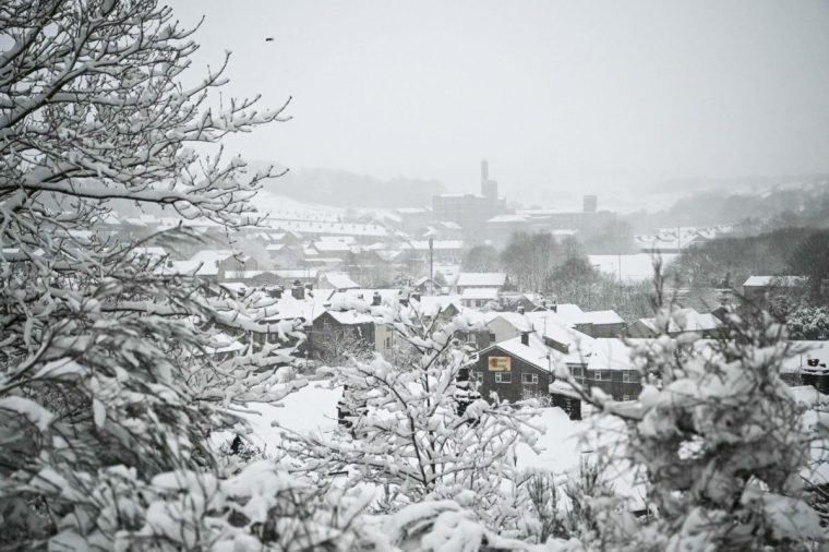
A photograph taken on January 5, 2025 shows the Marsden, northern England, covered in snow as heavy snow across parts of England are set to cause disruption. An amber weather warning -- the second most serious -- for snow and freezing rain was in place for much of Wales, central England and parts of northwestern England. (Photo by Oli SCARFF / AFP) (Photo by OLI SCARFF/AFP via Getty Images)
Marsden in northern England covered in snow (Photo: Oli Scarff/AFP)
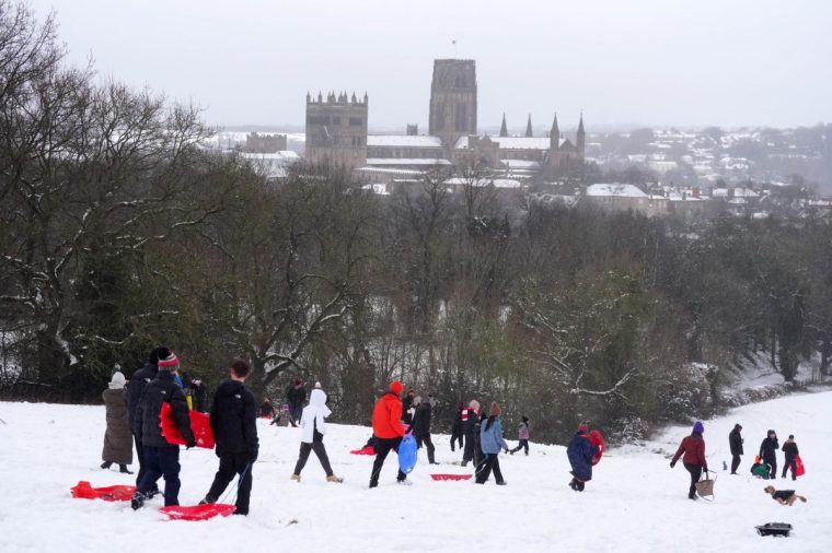
People sledging near Durham Cathedral in Durham. Heavy overnight snow is causing disruption across the UK as the cold start to the new year continues. Picture date: Sunday January 5, 2025. PA Photo. Two amber weather warnings from the Met Office have been put in place in England and Wales, with 3cm to 7cm of snowfall predicted for much of the affected area, mixing with rain at times in lower-lying areas. The Met Office said Bingley, West Yorkshire, had seen 12cm of snow up to 7am on Sunday, with Shap in Cumbria and Capel Curig, Gwynedd, both seeing 10cm. One amber warning for snow and freezing rain, which covers much of Wales and the Midlands as far north as Manchester, is in place until midday on Sunday. See PA story WEATHER Winter . Photo credit should read: Owen Humphreys/PA Wire
People sledging near Durham Cathedral (Photo: Owen Humphreys/PA)
A vehicle is driven along a snow covered road in Scotton, Harrogate, North Yorkshire. Heavy overnight snow is causing disruption across the UK as the cold start to the new year continues. Picture date: Sunday January 5, 2025. PA Photo. Two amber weather warnings from the Met Office have been put in place in England and Wales, with 3cm to 7cm of snowfall predicted for much of the affected area, mixing with rain at times in lower-lying areas. The Met Office said Bingley, West Yorkshire, had seen 12cm of snow up to 7am on Sunday, with Shap in Cumbria and Capel Curig, Gwynedd, both seeing 10cm. One amber warning for snow and freezing rain, which covers much of Wales and the Midlands as far north as Manchester, is in place until midday on Sunday. See PA story WEATHER Winter. Photo credit should read: Danny Lawson/PA Wire
Cars drive through snow in Scotton, Harrogate, North Yorkshire (Photo: Danny Lawson/PA)
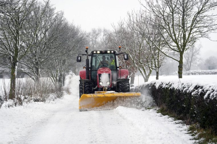
A tractor clears snow from a road in Scotton, Harrogate, North Yorkshire. Heavy overnight snow is causing disruption across the UK as the cold start to the new year continues. Picture date: Sunday January 5, 2025. PA Photo. Two amber weather warnings from the Met Office have been put in place in England and Wales, with 3cm to 7cm of snowfall predicted for much of the affected area, mixing with rain at times in lower-lying areas. The Met Office said Bingley, West Yorkshire, had seen 12cm of snow up to 7am on Sunday, with Shap in Cumbria and Capel Curig, Gwynedd, both seeing 10cm. One amber warning for snow and freezing rain, which covers much of Wales and the Midlands as far north as Manchester, is in place until midday on Sunday. See PA story WEATHER Winter. Photo credit should read: Danny Lawson/PA Wire
A tractor clears snow from a road in Scotton, Harrogate, North Yorkshire (Photo: Danny Lawson/PA)

Liverpool’s match against Manchester United to go ahead despite weather warnings

Liverpool’s Premier League match against Manchester United will go ahead at Anfield this afternoon after officials gave the thumbs up.

In a post on X, the league leaders said: “Today’s fixture against Manchester United will go ahead as planned.

“Two safety meetings were held earlier to assess the weather and travel conditions.
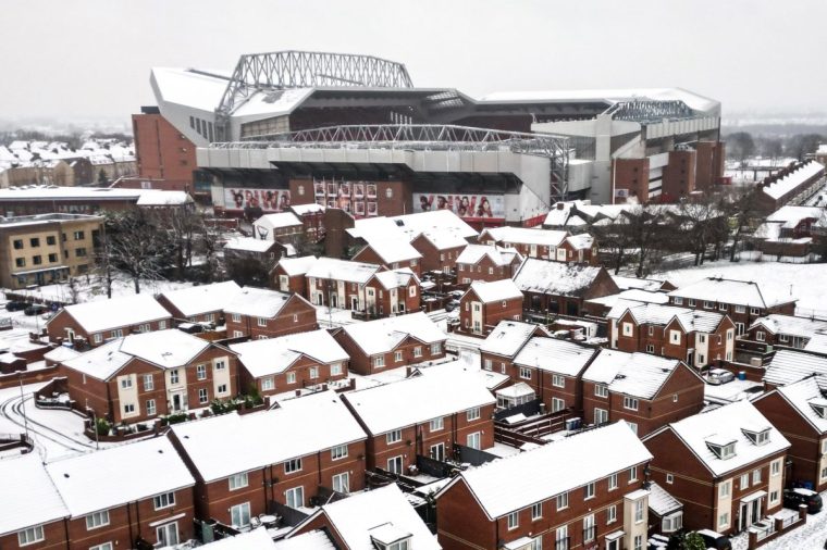
An aerial photograph taken on January 5, 2025 shows Anfield stadium in Liverpool, north west England, covered in snow ahead of the the English Premier League football match between Liverpool and Manchester United, as heavy snow across parts of England are set to cause disruption. An amber weather warning -- the second most serious -- for snow and freezing rain was in place for much of Wales, central England and parts of northwestern England. (Photo by Darren Staples / AFP) (Photo by DARREN STAPLES/AFP via Getty Images)
Anfield stadium in Liverpool covered in snow (Photo: Darren Staples/AFP)

“We thank everyone involved in helping us to get this game on today. If you’re travelling to Anfield then please take extra care. We look forward to seeing you there.”

It comes after a host of games across the men’s and women’s football pyramids have been postponed, including League Two matches at Chesterfield and Fleetwood.

3-7cm of snow expected in large parts of the country

Much of northern England, Wales and parts of the Midlands is expected to see 3-7 cm of snow on Sunday.

Areas above about 150 m will likely see 15-30 cm, with 40 cm for ground above 300 m, before snow begins to ease and clear by the end of Sunday.

 Freezing rain could lead to ice accretion in places, especially parts of Wales, before the milder air leads to a rapid thaw of snow and ice in the south of the warning area through Sunday.

  翻译: