GeoScour dataset launch event
BGS Product Development invites you to the launch of our newly updated dataset, GeoScour.
Event on 08/09/2022
BGS GeoScour Open datasets provide a generalised overview of the natural characteristics and properties of catchment and riverine environments for the assessment of river scour in Great Britain.
We’ve brought together research experts and product development experts to provide an introductory overview of our two new datasets, which comprise of two different tiers of geographical information system (GIS) data containing seven different data layers. Each tier represents a different scale of assessment, from high-level catchment to subcatchment data.
Our 30-minute webinar provides an overview of river scour and its associated river erosion hazards, including surface geology susceptibility and bedrock geology susceptibility, and will be followed by an introduction to the Open and Premium GeoScour data packages.


Watch a recording of our BGS GeoScour launch webinar.
Relative topics
Latest news

Twenty years on: the Indian Ocean earthquake and tsunami
26/12/2024
Boxing Day 2024 marks 20 years since the Indian Ocean earthquake and tsunami. Prof David Tappin reflects on the disaster and discusses what we have learnt since 2004.

Airlines, shipping companies and sleigh drivers rush to update crucial navigation systems ahead of Christmas rush
17/12/2024
Release of major upgrade to a new model tracking magnetic north prompts global reset of satellite tracking systems across trade and passenger transport routes.

BGS awarded Athena SWAN Silver status
12/12/2024
BGS are delighted to have been awarded Athena SWAN Silver status in recognition of our ongoing commitment to gender equality
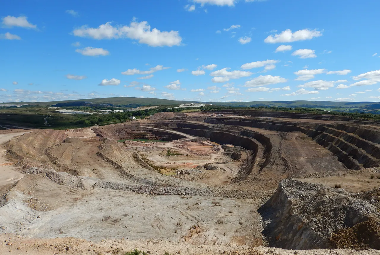
BGS makes significant advance in mineral data accessibility
10/12/2024
A new public application programming interface for the BGS World Mineral Statistics Database will revolutionise how users interact with critical data.

Dynamics of land-to-lake transfers in the Lake Victoria Basin
09/12/2024
In June 2024, a UK/Kenya research team shared research findings from a collaborative, four-year field and experimental programme within Kenya.
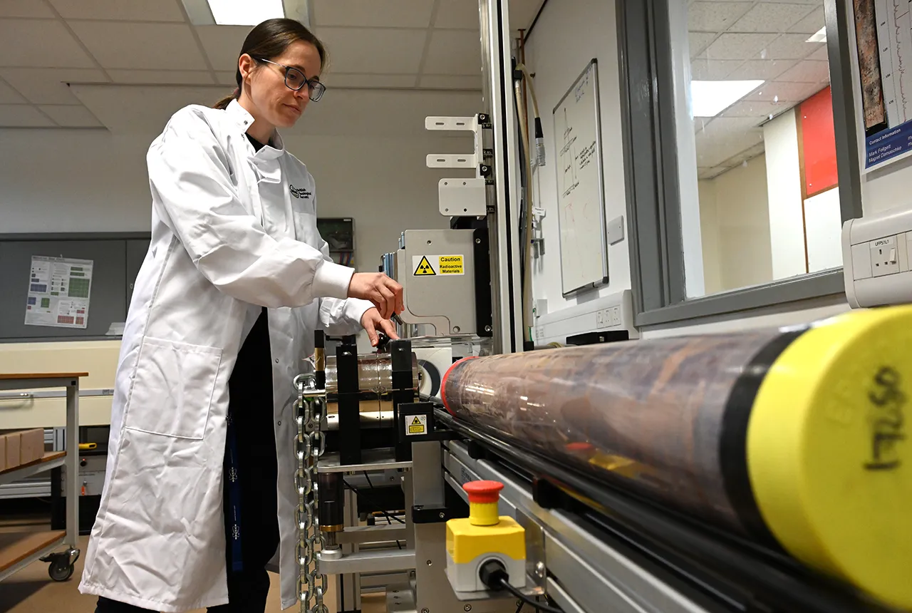
Prehistoric power: 250-million-year-old rocks could contain secrets to net zero future
05/12/2024
BGS has completed a comprehensive scan of Mercia Mudstone rocks that could hold geological secrets of the UK’s past and provide a boost for net zero.

The challenge of assessing the UK economy’s dependence on mineral supply
28/11/2024
Critical, essential, or just plain important? Dr Gavin Mudd, director of the Critical Minerals Intelligence Centre, discusses the findings and new methodology featured in the 2024 UK Criticality Assessment.

UK 2024 Criticality Assessment published
28/11/2024
The latest UK Criticality Assessment, produced by the UK Critical Minerals Intelligence Centre, shows that growing diversification brings an increasing vulnerability in terms of disruption to supply.

Brighid Ó Dochartaigh honoured with prestigious Geological Society award
27/11/2024
A recently retired BGS employee has been honoured for her contribution to the hydrogeological community.

How can Scotland re-establish its building stone industry?
14/11/2024
British Geological Survey research, commissioned by Historic Environment Scotland, reveals an opportunity to re-establish the Scottish building stone market in order to maintain the country’s historic buildings.
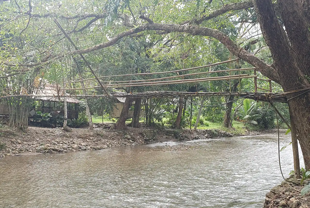
UK–Philippine partnership to help tackle the challenges of future water security in the Philippines
07/11/2024
New ‘hydrological hub’ to foster research and provide essential national water management datasets and tools.
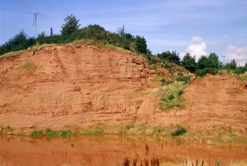
Next stage of funding awarded for project on hydrogen storage potential in the East Midlands
17/10/2024
BGS will conduct essential studies on hydrogen behaviour in the subsurface to predict, measure and monitor underground hydrogen storage.


