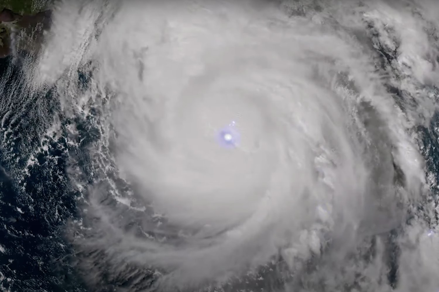
Behold, the majesty and terrifying power of the extratropical cyclone that swept over the Pacific Northwest this week.
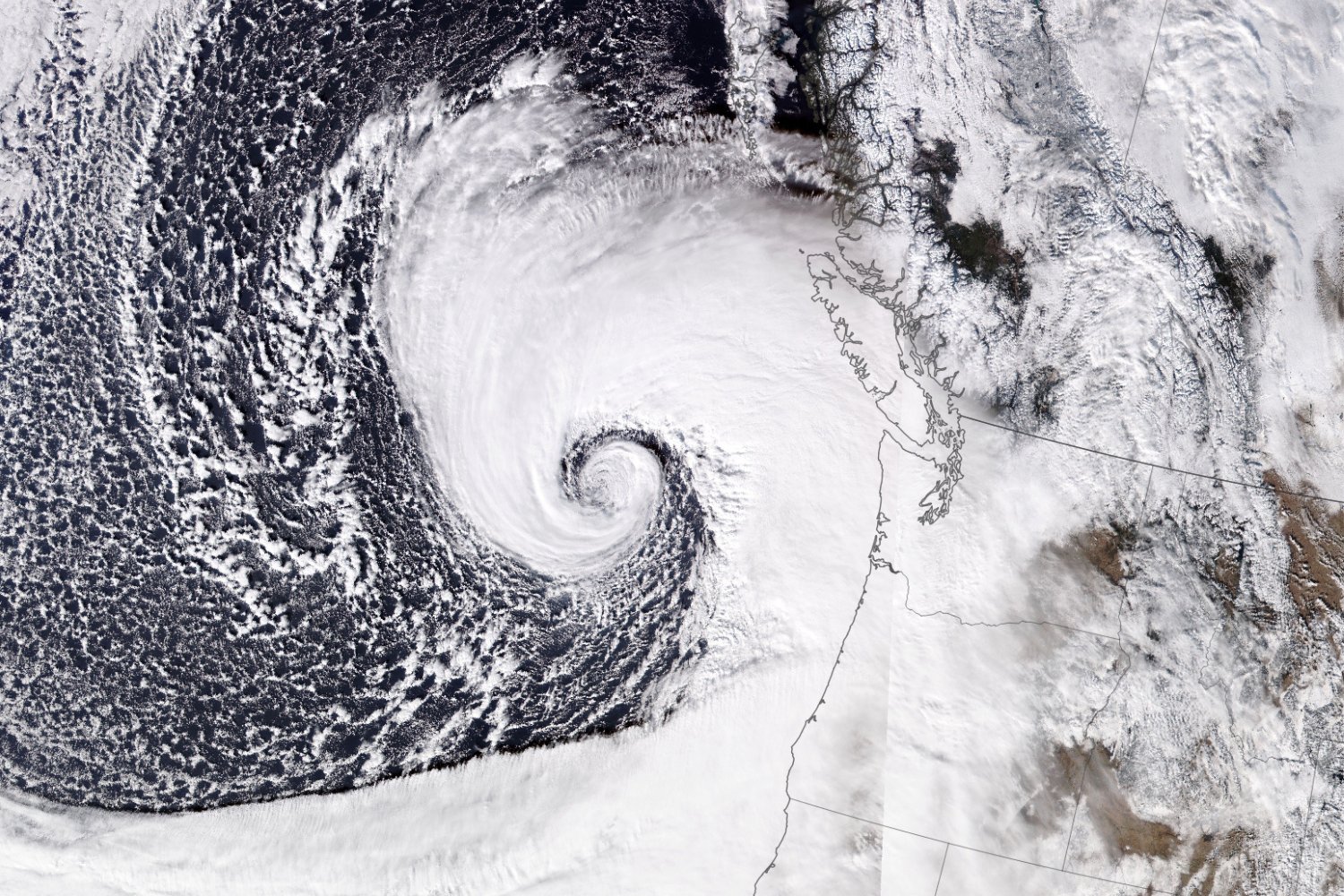
The satellite image above shows the cyclone as it appeared on November 19, 2024, swirling with hurricane-force winds and rain. It reveals the distinctive comma-shaped clouds of the extratropical cyclone and the atmospheric river that will continue to douse the region through Friday. But moreover, the satellite image showcases the significant size of the rapidly intensified system.
As atmospheric pressures in the center of the system dropped, its wind speeds picked up rapidly, according to a NASA Earth Observatory release. The storms’ intensification was more than double what’s necessary to constitute bombogenesis—a very cool name for when an ordinary cyclone becomes a bomb cyclone (basically, a cyclone from out of nowhere).
The cyclone knocked down trees and power lines across the Pacific Northwest, leaving nearly 600,000 people without power in Washington state alone. According to BC Hydro, nearly 30,000 people were without power in British Columbia as of this morning; about 320,000 customers were originally affected by the windstorm. According to CNN, the cyclone killed at least two people.
The National Oceanic and Atmospheric Administration’s JPSS-1 satellite took the image—specifically, that satellite’s Visible Infrared Imaging Radiometer Suite. The sheer size and location of the storm harkens back to an atmospheric river that swept into the Gulf of Alaska from the Pacific back in September, causing several inches of rain in parts of Alaska and British Columbia. An atmospheric river is exactly what it sounds like: an airborne corridor of moisture that carries rain across a vast swath of the ground.
Atmospheric rivers have specific dimensions; according to NASA’s Global Hydrometeorology Research Council, a corridor of atmospheric moisture must be more than 1,245 miles (2,000 kilometers) long and less than 620 miles (1,000 km) wide to be considered an atmospheric river.
Now, the extratropical cyclone has spawned an atmospheric river that will cause heavy rainfall in the region through Friday. According to NASA, the atmospheric river is expected to dump between 12 to 16 inches (30 to 41 centimeters) of rain over some parts of Oregon and California. The Weather Prediction Center announced flood watches and wind warnings are in effect for northern California, wind warnings for Oregon, a gale warning for the waters off Oregon and Washington, and winter storm warnings and watches for the California and Washington Cascades, and Sierra Nevada.
The Pacific Northwest should be out of the woods by Friday, depending on how much of the woods are still standing following those gale-force winds. Until then, stay safe and stay dry.
